
Thursday’s weather: Sultry, sunny start to summer, high of 100
For the first day of summer extremely hot and humid with some sunshine, and there are a few hit-or-miss afternoon thunderstorms expected; it’s crucial to stay hydrated as temperatures remain perilously high. The high temperature of 100 breaking the record of 98 set in 1953. Any spot thunderstorms co


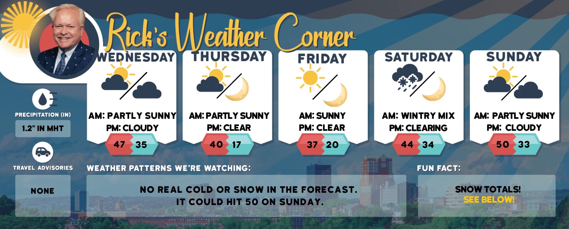
Weather Watch with Rick Gordon
Click below for Rick’s exclusive videocast.
Thursday’s Weather
For the first day of summer extremely hot and humid with some sunshine, and there are a few hit-or-miss afternoon thunderstorms expected; it’s crucial to stay hydrated as temperatures remain perilously high. The high temperature of 100 breaking the record of 98 set in 1953. Any spot thunderstorms could produce gusty winds and small hail.
5-Day Forecast June 20-24
Today (First day of Summer): Hazy sun, very hot, and muggy with a hit-or-miss afternoon thunderstorm. High 100 (feel like 105) breaking the record of 98 set in 1953. Winds: WSW 5-10 mphTonight: It will be very warm with a heavy thunderstorm in the evening, followed by sporadic thunderstorms later; there will be minimal relief from the heat, making it an uncomfortable night for sleeping without air conditioning. Low 75 Breaking the record for the highest minimum temperature previously set in 1944. Winds: Light & VariableFriday: Not as hot but humid with considerable cloudiness; a thunderstorm in spots in the afternoon. High 85 (feel like 90) Winds: Light & VariableFriday night: Spot evening thunderstorm; otherwise, warm and humid. Low 66 Winds: Light & VariableSaturday: Mostly cloudy, warm, and not as humid. High 80 Winds: ESE 5-10 mphSaturday night: Cloud. Low 65 Winds: Light & VariableSunday: Expect considerable cloudiness with warm and humid conditions; afternoon thunderstorms may occur in some areas. High 88 (feel like 93) Winds: SSW 5-10 mphSunday night: Warm & humid with evening thunderstorms. Low 71 Winds: SSW 5-10 mphMonday: Mostly cloudy and humid, with a couple of thunderstorms expected. High 82 (feel like 85) Winds:Monday night: Mainly clear, breezy, and turning less humid. Low 62 Winds: NW 10-15 mph
Excessive Heat Warning
✓ Record high temperatures and heat impacts likely today and tomorrow.✓ Heat indices 100-104 degrees likely, with values up to around 107 degrees possible.✓ EXCESSIVE HEAT WARNING NOW IN EFFECT FROM NOON TO 8 PM TODAY FOR Manchester and Nashua.IMPACTS: The risk of heat-related illnesses escalates markedly during periods of extreme heat and high humidity. It is crucial to hydrate frequently, seek refuge in air-conditioned environments, avoid direct sunlight, and monitor the well-being of relatives, neighbors, and pets. Never leave young children or pets inside parked vehicles unattended. The temperature inside a car can become fatal within minutes.

Weather Patterns We’re Watching
Next week for the last week of June will be dry and comfortable with highs in the 80s.
Hiking/Beach/Lake Forecasts

Take a Hike
Elevations for summits above 4,000 feet in Northern New Hampshire Today: Peaks will appear and disappear among the clouds. Expect numerous showers and isolated thunderstorms in the afternoon. Temperatures will reach the upper 70s, except near 70 at altitudes above 5000 feet. Northwest winds will blow at 20 to 30 mph, with gusts up to 55 mph. There is a 60 percent chance of rain.Elevations between 2,500 and 4,000 feet in Northern New Hampshire Today: Expect a cloudy day with numerous showers and scattered thunderstorms by the afternoon. Temperatures will reach the lower 80s. Northwest winds will blow at 10 to 20 mph, with gusts possibly up to 45 mph. There’s a 70 percent chance of rain.
Hit the Beach
- Weather: Partly sunny. Scattered showers and thunderstorms.
- UV Index: High.
- Thunderstorm Potential: Moderate. Implies that thunderstorms are possible.
- High Temperature: In the upper 80s.
- Winds: Southwest winds 5 to 10 mph.
- Water Temperature: 60 degrees.
- Surf Height: Around 2 feet.
- Rip Current Risk: Low.
- Tides Hampton Beach: High 7.5 feet (MLLW) 11:02 AM. Low 1.4 feet (MLLW) 05:02 PM.
Jump in a Lake
West winds 5 to 10 mph. Waves around 2 feet. Partly sunny. Isolated showers in the morning, then scattered showers and thunderstorms in the afternoon. Hot with highs in the mid-90s.Chance of rain 50 percent. The lightning threat is moderate, which implies that thunderstorms are possible. Water temperature 68 degrees.


