
Thursday’s weather: Partly sunny, chilly and breezy, high of 42
Enjoy a partly sunny day with a chilly breeze but be prepared for cooler temperatures ahead. With a high of 42°, it’s wise to dress warmly, as it will feel more like 34°. Embrace the chill and make the most of your day!

Rick Gordon’s Weather Watch
Follow our YouTube channel here.
Today’s Weather Outlook
Enjoy a partly sunny day with a chilly breeze but be prepared for cooler temperatures ahead. With a high of 42°, it’s wise to dress warmly, as it will feel more like 34°. Embrace the chill and make the most of your day!
5-Day Outlook
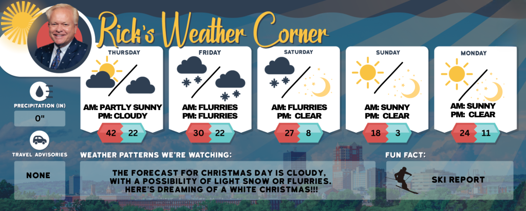
Today: Some sun, breezy, and turning cooler. High 42 (feel like 34) Winds: NW 10-15 mph
Tonight: Few clouds & colder. Low 22 Winds: NNW 5-10 mph
Friday: Mainly cloudy and cold with afternoon snow showers. High 30 (feel like 22) Winds: NNE 5-10 mph
Friday night: Some snow showers (Inch or less). Low 22 Winds: N 5-10 mph
Saturday (First Day of Astronomical Winter): Morning flurries with some afternoon sun, windy, and very cold. High 27 (feel like 17) Winds: NW 10-20 mph
Saturday night: Mainly clear & frigid. Low 8 (feel like -2) Winds: NW 10-15 mph
Sunday: Lots of sunshine, breezy, and frigid. High 18 (feel like 5) Winds: NW 15-20+ mph
Sunday night: Clear. breezy, and frigid. Low 3 (feel like -5) Winds: NNW 5-15+ mph
Monday: Mostly sunny and cold. High 24 Winds: Light & Variable
Monday night: Clear to partly cloudy. Low 11 Winds: Light & Variable
Weather Alert
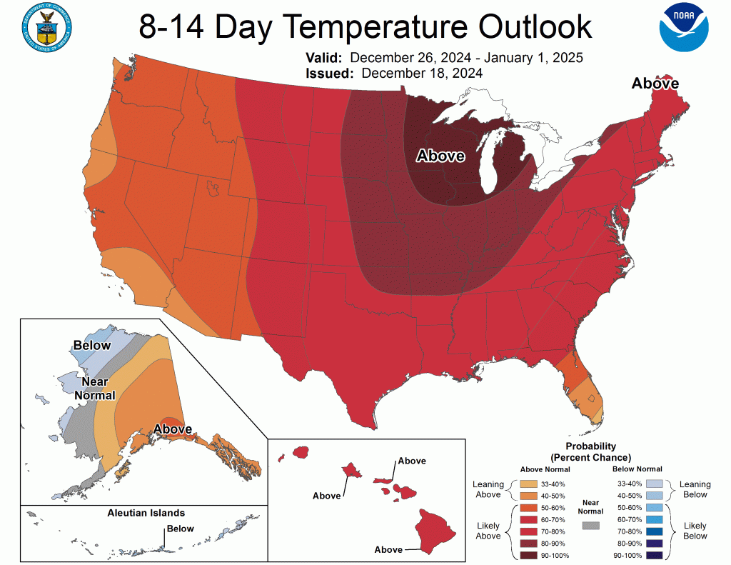
The first day of Astronomical Winter is Saturday, December 21. The season coldest air will arrive, so bundle up; it will feel like midwinter. This marks the first weekend of winter with high temperatures in the 20s on Saturday and in the teens on Sunday. A biting wind will make it feel like the teens on Saturday and the single digits on Sunday. Lows on Sunday and Monday mornings will feel like they are below zero. This chilly sensation is expected to persist into the first day of Christmas week. Milder conditions expected as 2024 concludes. Temperatures will remain above average Christmas through New Year’s Eve.
Weather Patterns We’re Watching
The forecast for Christmas Day is cloudy, with a possibility of light snow or flurries. Here’s Dreaming of a White Christmas!!!
Skiing and Snowboarding Weather Report.
Elevations for summits above 4,000 feet in Northern New Hampshire today: Summits obscured. A chance of snow showers the morning. Highs in the lower 20s. Northwest winds 25 to 35 mph, except northwest 45 to 55 mph at elevations above 5,000 feet. Chance of snow 30 percent. Wind chill values as low as 17 below.
Elevations between 2,500 and 4,000 feet in Northern New Hampshire today: Summits will alternate between clear skies and cloud cover. There is a possibility of snow showers in the morning. High temperatures will reach the upper 20s. Northwest winds will range from 15 to 25 mph, with gusts up to 60 mph. The chance of is 40 percent. Wind chill values may drop as low as 9 below zero.
Please refer to this link for updates and information on additional ski area openings.