
Calm before the storm: National Weather Service issues ‘Winter Storm Warning,’ bringing moderate to heavy snow our way
The next system in the ongoing active weather pattern is forecast to pass through southern New England Sunday night before exiting through the Gulf of Maine on Monday, according to the National Weather Service, bringing another round of snowfall to the region.


GRAY, MAINE – The next system in the ongoing active weather pattern is forecast to pass through southern New England Sunday night before exiting through the Gulf of Maine on Monday, according to the National Weather Service, bringing another round of snowfall to the region.
The heaviest snowfall rates are expected to be overnight tonight into Monday morning, with travel impacts expected for the morning commute. With snow expected to last into the late afternoon and early evening hours, travel may also be slick for the evening commute. Snow may be wet and sticky, which may increase power outage risk. Power outage risk increases further as winds turn gusty out of the northwest behind the storm system on Monday afternoon into Monday night.
WHAT…Heavy snow expected. Total snow accumulations between 4 and 6 inches. Winds gusting as high as 40 mph. *
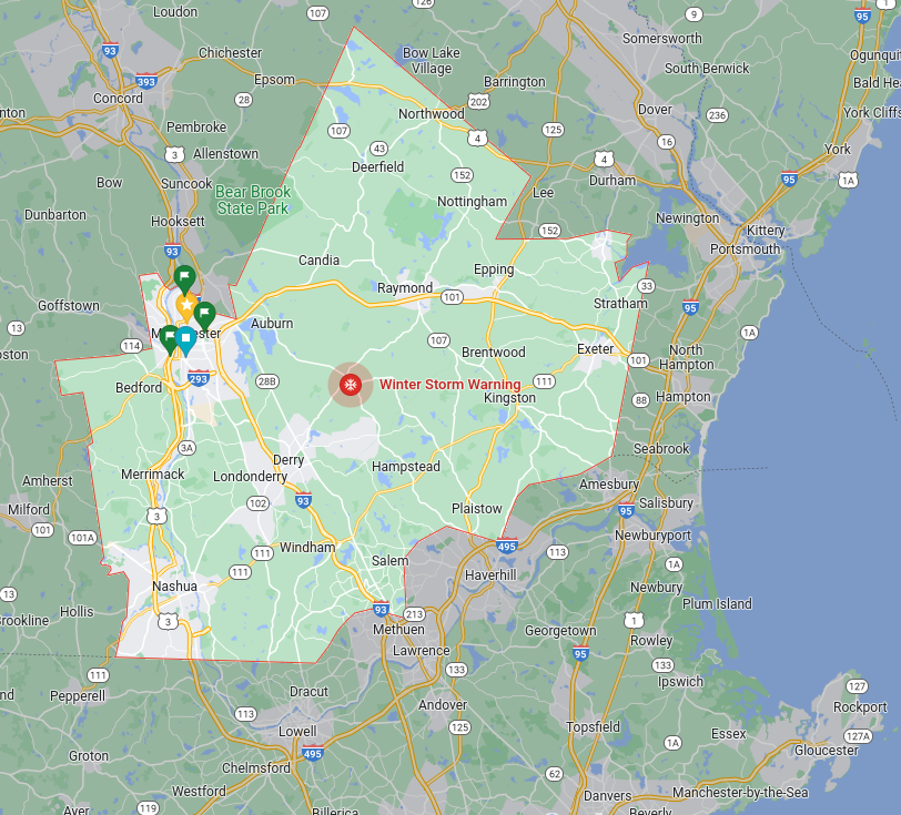
WHERE…Portions of south-central and southwest Maine. Portions of southern New Hampshire.
WHEN…From 7 p.m. Sunday to 10 p.m. Monday.
IMPACTS...A snowstorm will bring plowable snow to the region with a period of moderate travel impacts expected. Periods of moderate snow and low visibility will be the biggest hazards. Periods of moderate and heavy snow will combine with low visibility to create dangerous driving conditions. The hazardous conditions could impact the Monday morning and evening commutes. Wet and sticky snow combined with gusty winds may lead to power outages, especially close to the rain-snow line.
Source: National Weather Service


